
When a user makes an API request using an address, there are two ways that the request can be handled:
- The address is represented as a single latitude and longitude point, and the flood zone is obtained for that point.
- The parcel boundary for the property is used, and the flood zone or possibly multiple flood zones are returned for the entire parcel.
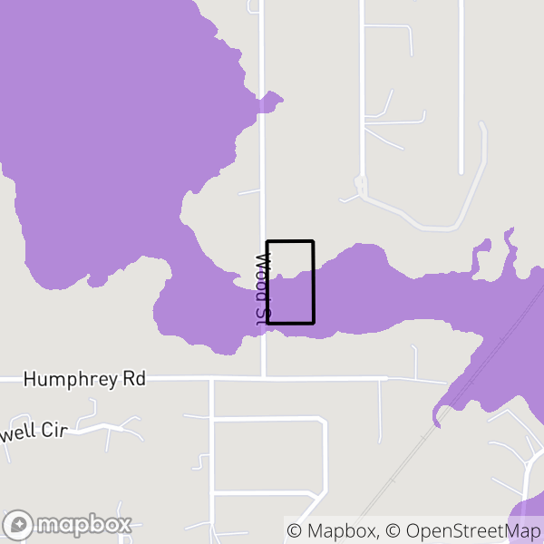
Some properties are in multiple flood zones. For example, a property may be next to a stream and half the property is in a flood zone and half is not. The best way to request the flood zone, therefore, is to request it for the entire parcel. This photo shows an example of a property where half of the property is in a flood zone.
However, if only a latitude and longitude were used based on the address, that latitude and longitude would be either where the property meets the street or the center of the house. In either of these cases, the flood zone on the back half of the property would be missed.
The National Flood Data API takes a parameter searchtype, which can be set as follows:
coord: A latitude and longitude are submitted and flood data is returned based only on that pointaddresscoord: An address is submitted. The address is then converted to a latitude and longitude point, and flood data is returned based only on that point.coordparcel: A latitude and longitude are submitted. National Flood Data obtains the parcel that the point falls in, and flood data is returned based on the entire parcel. That means that all flood zone data that intersects the parcel is returned.addressparcel: An address is submitted. National Flood Data obtains the parcel for the address, and flood data is returned based on the entire parcel. That means that all flood zone data that intersects the parcel is returned.
It can occur that no parcel is found for the latitude and longitude or address. In these cases, the API returns that no parcel match was made, and the request must then be made as either coord or addresscoord.
When multiple flood zones intersect the parcel, the flood zone data is ordered by severity, so that the first flood zone returned is the most severe flood zone. A user in general should take this first value as the flood zone for the property.