
Understanding Flood Zones: A Guide for Insurance Agents on FEMA Flood Maps
Explore how FEMA flood maps define flood zones and flood risk for property owners. This guide equips insurance professionals with essential knowledge on high-risk areas and flood insurance.
Understanding Flood Zones: A Guide for Insurance Professionals
The Significance of Flood Zones
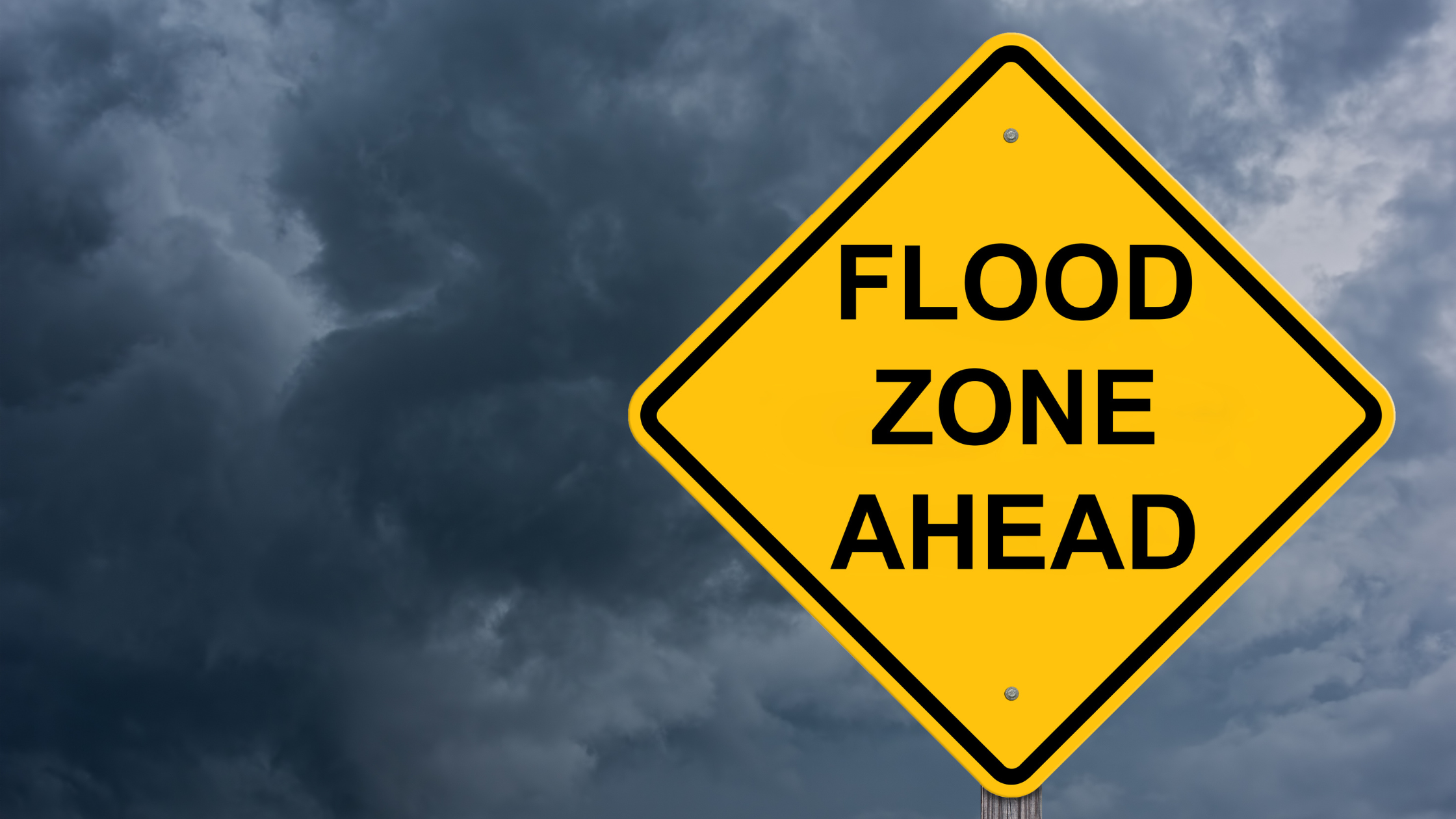
Flood zones play a significant role in determining insurance premiums and assessing risks for properties. Designated by the Federal Emergency Management Agency (FEMA), flood zones categorize areas based on their level of flood damage. Zones such as Zone A, Zone B, Zone D, and Zone V provide valuable insights into the likelihood of inundation, enabling insurance companies to tailor their coverage and pricing accordingly. Determining the potential flood zone for a property is crucial and requires access to accurate flood map data.
Moreover, understanding flood zones can help insurance professionals explain to policyholders why flood insurance is essential, even for properties located in moderate-to-low risk areas. It is important to note that over 20% of flood insurance claims come from properties outside high-risk flood zones. This highlights the unpredictable nature of flooding and the importance of having adequate coverage regardless of the perceived risk level of a location.
National Flood Data's Work
National Flood Data is leading the way in providing comprehensive FEMA flood maps and flood zone determinations to insurance companies. Their services offer insurance professionals the ability to access precise flood data using their cutting-edge software solutions. National Flood Data's commitment to meeting the specific needs of insurance companies ensures that their evaluations are tailored to individual requirements and provide the necessary accuracy and reliability.
Enhancing Risk Assessment with Reliable Data
Insurance companies can benefit significantly from National Flood Data's flood zone determinations. Unlike many providers that rely solely on automated systems, National Flood Data combines the efficiency of automated requests with the expertise of U.S.-based floodplain managers. This unique approach enables direct consultations when specific questions or clarifications arise, ensuring that the flood zone determinations are accurate and reliable.
Empowering Insurance Professionals
By leveraging National Flood Data's flood zone determinations, insurance professionals can streamline their operations, enhance underwriting processes, and provide more precise risk assessments to their clients. The ability to access flood data through APIs and tailored reports enables insurance companies to make informed decisions that align with their individual risk evaluation methodologies.
Final Thoughts
Understanding flood zones and utilizing accurate flood data is crucial for insurance companies in mitigating risks and optimizing their services. National Flood Data's comprehensive FEMA flood maps and flood zone determinations empower insurance professionals to make well-informed decisions and provide tailored coverage options to their clients.
When it comes to flood risk assessments, precision and reliability are paramount. Insurance companies that integrate the expertise of National Flood Data into their operations gain a valuable advantage, enabling them to navigate the complexities of flood zone determinations with confidence and accuracy.
For insurance professionals seeking to enhance their risk assessment processes, National Flood Data stands as a trusted partner, offering the tools and expertise needed to effectively navigate flood zones and make informed, strategic decisions.
For further information on National Flood Data's services, visit our website at National Flood Data or reach out at infonationalflooddatacom.
FAQ
What is a flood zone, and why is it important for insurance agents to understand?
A flood zone is a geographic area that FEMA has designated based on its level of inundation risk. Understanding flood zones is crucial for insurance agents because it directly impacts the flood insurance coverage options available to property owners. Each zone has different insurance premiums, and knowing the classification helps agents provide accurate advice and quotes. Additionally, it enables agents to alert clients about the flood insurance requirements for their specific locations.
How do FEMA flood maps determine flood risk?
FEMA flood maps are developed using historical data, topography, and hydrology to assess the likelihood of inundation in certain areas. These maps classify areas into different flood zones, such as Zone AE, which indicates a high-risk flood area, or low-risk zones. Understanding these classifications helps insurance agents evaluate the flood risk for their clients and advise them accordingly on flood insurance needs.
What are the different flood zone classifications?
Flood zone classifications include high-risk zones such as Zone AE and Zone A, which require flood insurance for properties with mortgages from federally regulated lenders. There are also moderate- to low-risk areas like Zone X, where flood insurance is not mandatory but may still be beneficial. Understanding these classifications helps insurance agents communicate the importance of flood insurance to their clients.
What is the role of the National Flood Insurance Program (NFIP)?
The National Flood Insurance Program (NFIP) provides flood insurance to property owners, renters, and businesses in participating communities. It aims to reduce the impact of inundation by providing affordable flood insurance and encouraging communities to adopt floodplain management regulations. Insurance agents must understand the NFIP to effectively guide clients through flood insurance requirements and options.